
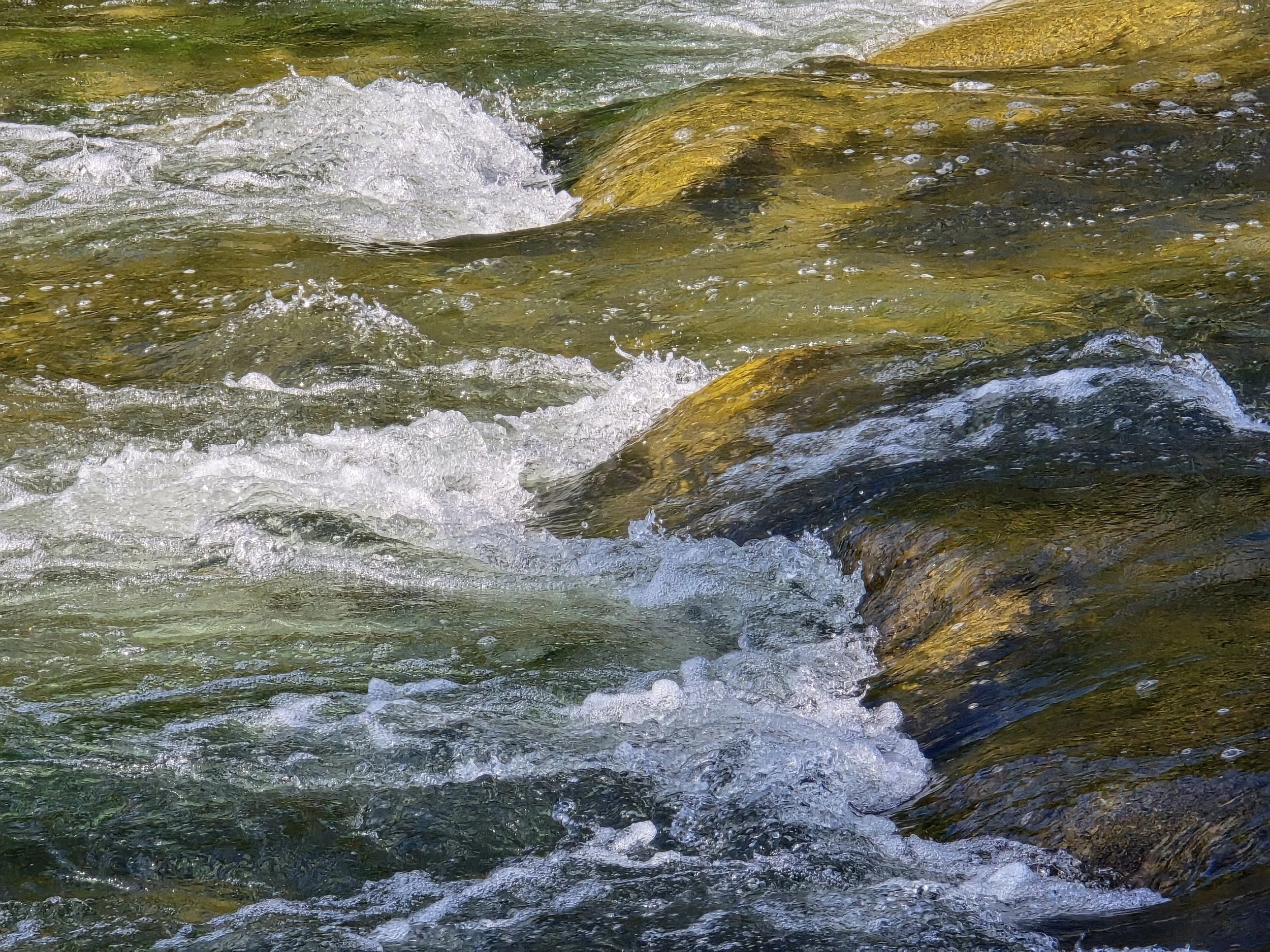
Fish Passage on the Cannon River
We are working on a project on a project to facilitate fish passage in the Cannon River Watershed.
Alongside the Minnesota Department of Natural Resources and an engineering firm, Bolton & Menk, we’re working on a project to modify the Lower Sakatah Lake Dam and Gorman Lake Dam to rock arch rapids and replace the Dodd Road culvert
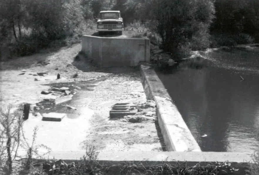
The Gorman Lake Dam
The Gorman Lake Dam, constructed in 1936 is situated in Gorman Lake Park, positioned in the southeast corner of Lake Gorman within Cordova Township, Le Sueur County. The Cannon River traverses the area south of the lake, making it a favored location for shore fishing enthusiasts.
The current concept design for the Gorman Lake Dam involves retaining a concrete sill at its current elevation and installing rock and boulder rapids downstream. The abutments may be partially removed based on condition.
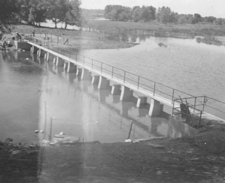
Lower Sakatah Lake Dam
The Lower Sakatah Lake Dam, commonly referred to as the Schmidtke Dam, was constructed in 1938 and is located near the Sakatah Wildlife Management Area and Aquatic Management Area, just outside Morristown in Rice County. It's important to note that the WMA and AMA do not provide public access to the land surrounding the dam.
The current concept design for the Lower Sakatah Lake Dam involves removing the piers and walkway, retaining the concrete sill at its current elevation, and installing rock and boulder rapids downstream.
Resources and Presentations
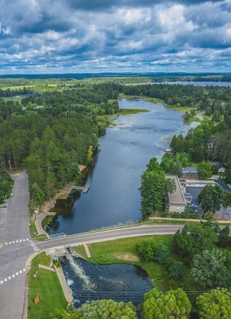
A Similar Project in Pine River, Minnesota
The dam removal project in Pine River, Minnesota, involved the aging Norway Brook dam, which had been a vital part of the community for over a century. With concerns about its safety and the need for repairs, city leaders explored their options when the Minnesota Department of Transportation planned to replace adjacent Highway 84. Ultimately, they opted to remove the dam and implement rock arch rapids, a series of boulders designed to create a fish-friendly habitat by allowing fish to travel upstream.
This approach parallels similar projects in our watershed, where older dams pose safety risks and hinder aquatic life. By removing or modifying outdated structures and replacing them with solutions like rock riffles, we can enhance ecological connectivity, promote biodiversity, and ensure the safety of our waterways, just as Pine River is doing.
Pictured Below: Photo of the dam removal project in Pine River, Minnesota.
Before the dam removal project in Pine River, MN.

After the dam removal project in Pine River, MN.

Installing boulders and base rock.

A close-up of the rock riffles.
Frequently Asked Questions
-
Project Scope
The Cannon River Fish Passage Project involves modifying the Lower Sakatah Lake Dam and Gorman Lake Dam to rock arch rapids and replacing the Dodd Road culvert to facilitate fish passage in the Cannon River Watershed.
Project Timeline
Spring 2026
By spring, the designs of the rock arch rapids and culvert will be complete. A project bidding package will be completed allowing for the selection of contractors and the progression to the next phase of the project. Prior to bidding, another public meeting will be held to keep the public informed. Contractors will be selected by the end of spring.
Summer 2026
Over the summer, we anticipate that construction will begin on the Dodd Road culvert replacement. Construction should be finished within ## weeks.
Fall 2026 and Winter 2026
We anticipate that construction on the dams and rock arch rapids will begin in the winter. Work on dam replacements usually takes place in the fall or winter seasons. This is the time with the lowest water levels; lowest risk of a weather event to drastically raise the water levels; and has the least impact to fish and other aquatic organisms that use these areas.
-
Who is funding these projects?
The project is fully funded by the DNR through the Get Out MORE initiative. This was a one-time initiative enacted by the 2023 Minnesota Legislature. Included in the initiative is $10 million targeted to projects that are barriers to fish and aquatic organism passage on streams. This includes 10 dam removal/modification projects and five culvert replacement projects in the state. Two of these dams and one of the culverts is in the Cannon River watershed.
More information about the “Restoring streams and water-related infrastructure” portion of the Get Out More Funding can be found here: https://www.dnr.state.mn.us/aboutdnr/get-out-more/restoring-streams.html
How much funding is provided for this project?
Currently, $1 Million is allocated for the Cannon River Fish Passage Project. Project breakdown is listed below:
Lower Sakatah Dam ($500,000)
Gorman Lake Dam ($350,000)
Gorman Lake Culvert ($150,000)
-
Why are the Lower Sakatah Dam and Gorman Lake Dams being modified?
Ecological Benefits: The Lower Sakatah Lake and Gorman Lake Dams are barriers for our native fish. Fish are not able to reach their historic spawning grounds, which has negative ecological effects, including limiting fish reproduction and decreasing biodiversity. Modifying them will reconnect 19 miles of the Cannon River Furthermore, native mussel species that use fish as hosts to travel upstream aren’t able to be transported above the dam, which has a negative impact on biodiversity and water quality. There have also been cases of pelicans, ducks, and otters getting trapped in dams’ backwash and drowning.
Aging Structures: The Lower Sakatah Lake Dam and Gorman Lake Dam were originally constructed in the 1930s and are beyond their design life.
Safety: Low head dams create dangerous hydraulic undertows known as “drowning machines.” By modifying the dams, we remove this risk and provide safer and improved recreational opportunities.
What fish will benefit from this project?
There are 28 fish species that will benefit from this project, including a genetically rare strain of walleye. A few species of note that will benefit from the projects include bluegill, largemouth bass, smallmouth bass, northern pike, and channel catfish.
Native game fish, such as walleye and northern pike, struggle with dam barriers, and dam-related hydrological conditions affect their natural reproduction. For example, walleye have been documented migrating long distances but often get trapped due to inconsistent water levels and dam barriers, especially in summer low-flow conditions. Modifying the Gorman Lake and Lower Sakatah Lake Dams is an incremental step toward restoring full connectivity in the Cannon River watershed. Rock arch rapids are built with pool and riffle habitat in them. The riffles are often utilized by gravel spawning species (Walleye, Sucker, Redhorse, Lake Sturgeon) to lay their eggs on.
Will the dams be completely removed?
Plans are to leave the existing weirs and lower parts of the old lake outlet dams in place to maintain water levels and control seepage. The runout elevation of the current dam will be maintained in the rock arch rapids designs for both the Gorman Lake Dam and Lower Sakatah Lake Dam modification projects. These cases, where sections of the dam are kept in the rock arch rapids design, are often referred to as a “modification” rather than “full removal.”
-
What is the design plan for the Dodd Road culvert?
Currently, the Cannon River’s flow is pinched through one culvert, which limits fish passage and causes issues with erosion and sedimentation. The new culvert design will be more resilient to increased flood events than the existing culvert. The final designs of the Dodd Road Culvert and Gorman Lake Dam balance fish passage with the statutory requirement to match the existing water levels. Final plans include two, 12’ X 4’ Concrete Box Culverts and two 30” Reinforced Concrete Pipes.
How will the rock arch rapids affect cattail bogs?
While the rock arch rapids are not “bog proof,” they are designed to reduce the issues often seen with traditional dams. Unlike dams, they do not have structures above the water, like piers, abutments, or catwalks, that can create blockages or debris jams. The weirs are arched and the cross section of the ramp curves to the center of the channel. This directs flows to the center and helps flush through bogs and other debris better than the straight crest of a dam. Debris that is pushed through has a better chance to break up as it is rolled to the center of the channel.
-
How will the project affect water levels in the watershed? How will this affect downstream communities?
The goal of this project is to ensure no change in water levels from pre- and post-implementation. There are statutory requirements that prohibit changes in water level, and final designs must be approved by the MN DNR Dam Safety. Final designs are underway and will be designed to closely match existing water levels for a range of flows to the maximum feasible extent.
-
Who will be responsible for maintenance of the rock arch rapids?
DNR would remain responsible for the operation and maintenance of the rock arch rapids into the future. DNR staff will keep an eye on the rock arch rapids in the first two to three years after the rock arch rapids is constructed to make sure there are no issues taking place that need to be addressed. There is usually an Operation and Maintenance Plan that is created as part of these projects to guide any maintenance long term. DNR’s Dam Safety still does regular monitoring of the rock arch rapids structures as they are still a water control structure, and this monitoring will occur every eight years.
Attend this upcoming event:
Read our latest blog:
Questions?
Contact Sophia Maruska (she/her), our
Conservation Program Manager, Habitat
sophia@cleanriverpartners.org
(507) 200-0247