Take Action for Clean Water with Your Land
Clean River Partners can connect you with resources to preserve your land, restore critical habitat, and create public access.
Land Protection
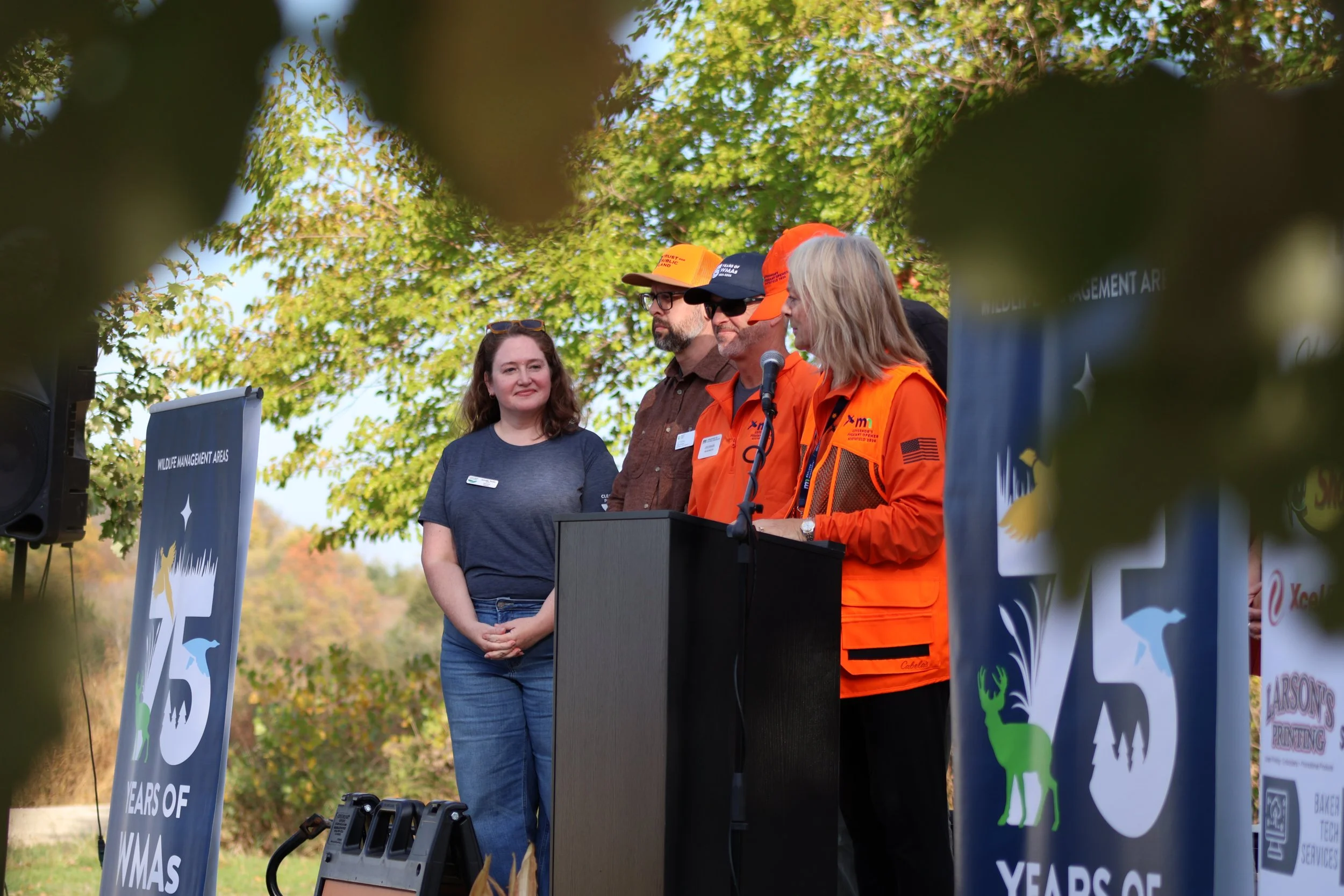
We are part of a long-term collaborative conservation project with Trust for Public Land and Great River Greening to acquire and restore land for protection and public access.
So far, we have protected 18 areas in the Cannon River watershed, totaling over 3,350 acres, and have restored or improved 500 acres, with more work in progress.
-
The Cannon River is one of Minnesota’s Wild and Scenic Rivers, with a 1,460 square mile watershed featuring over 800 miles of streams and rivers.
This landscape was once rich in forests, prairies, and wetlands, but agriculture and urban development have significantly altered it over time.
Today, only 18% of the landscape remains as forest, wetland, or prairie habitat.
We’re working in partnership with Trust for Public Land and Great River Greening to protect and restore vital habitats, which are critical to the region’s water quality and biodiversity.
-
Are you interested in selling your land for conservation?
Through our habitat protection program, you can sell your property to be permanently protected as public land, ensuring it remains a healthy habitat and a place Minnesotans can enjoy for generations to come.
As a participating landowner, you can expect:
Fair market value for your land
A simple, guided sale process, with Trust for Public Land conducting the transaction, handling real estate logistics, and securing funding
Coverage of most due dilligence costs (such as survey, appraisal, and environmental assessment)
Permanent protection of your land’s conservation legacy
Expanded public access to the outdoors for hunting, fishing, wildlife viewing, and more.
-
Clean River Partners starts the process, administering and coordinating the program and serves as your first point of contact for outreach and questions.
Trust for Public Land facilitates the land acquisition, managing the real estate transaction from start to finish.
Great River Greening leads restoration efforts and engages local volunteers to bring the land back to life.
Funding for this program is provided by the Outdoor Heritage Fund, as appropriated by the Minnesota State Legislature as recommended by the Lessard-Sams Outdoor Heritage Council (LSOHC).
Protection & Restoration Sites
Fish Passage
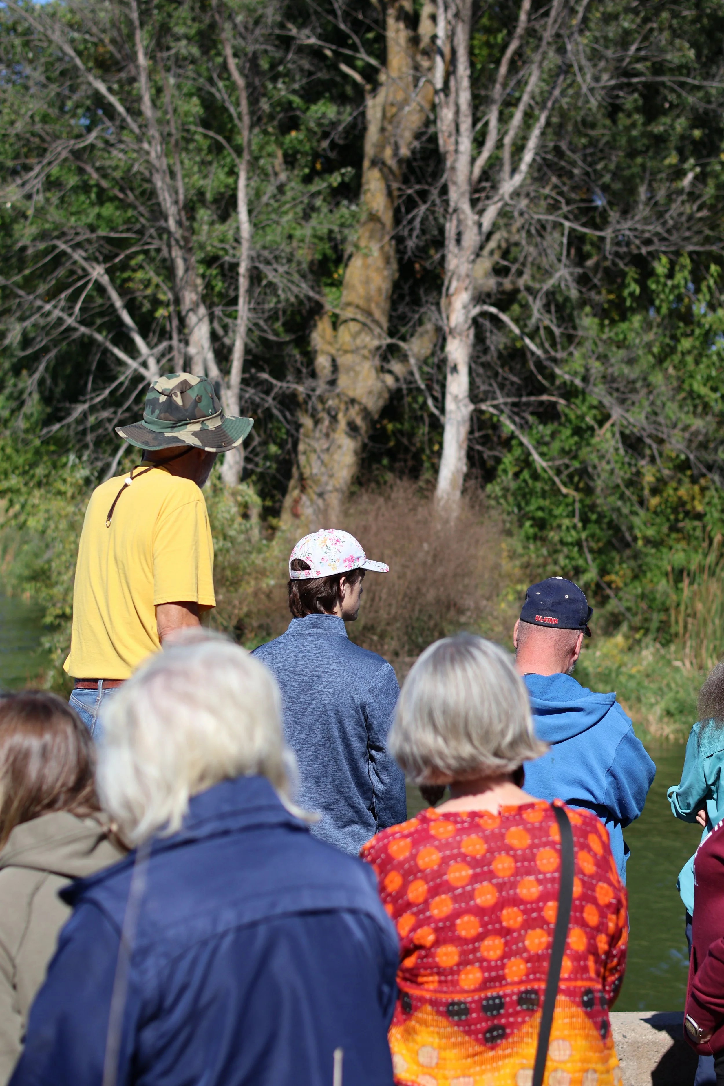
We’re working in partnership with the Minnesota Department of Natural Resources, the engineering firm Bolton & Menk, and local government and watershed partners, on a project to facilitate fish passage in the Cannon River Watershed.
-
Fish passage is a simple idea. Fish need to move up and down a river to survive. Many species travel upstream to lay eggs in specific habitats with the right water depth, temperature, and gravel. When a dam blocks that path, fish cannot reach those spawning areas. Over time, populations shrink, diversity declines, and the river ecosystem weakens.
On the Cannon River, the Lower Sakatah Lake Dam and the Gorman Lake Dam have prevented native fish from reaching historic spawning grounds for generations. The impact does not stop with fish. Several native mussel species depend on fish to carry their young upstream. Mussels are natural water filters, improving water clarity and quality. When fish movement stops, mussels cannot repopulate upstream areas either. One barrier affects the entire food web.
There is also a human story here.
Low head dams are often called “drowning machines” because of the powerful circulating currents they create. Even strong swimmers and experienced paddlers can become trapped. By replacing these hazardous drops with rock rapids, we improve safety for anglers, kayakers, and families enjoying the river. Restoration and recreation can go hand in hand.
-
The Gorman Lake Dam, constructed in 1936 is situated in Gorman Lake Park, positioned in the southeast corner of Lake Gorman within Cordova Township, Le Sueur County. The Cannon River traverses the area south of the lake, making it a favored location for shore fishing enthusiasts.
The current concept design for the Gorman Lake Dam involves retaining a concrete sill at its current elevation and installing rock and boulder rapids downstream. The abutments may be partially removed based on condition.
-
The Lower Sakatah Lake Dam, commonly referred to as the Schmidtke Dam, was constructed in 1938 and is located near the Sakatah Wildlife Management Area and Aquatic Management Area, just outside Morristown in Rice County. It's important to note that the WMA and AMA do not provide public access to the land surrounding the dam.
The current concept design for the Lower Sakatah Lake Dam involves removing the piers and walkway, retaining the concrete sill at its current elevation, and installing rock and boulder rapids downstream.
Questions?
Contact Sophia Maruska (she/her), our
Conservation Program Manager, Habitat
sophia@cleanriverpartners.org
(507) 200-0247
Our Partners